PHOTOGRAMMETRY
Drone survey at fortress sites
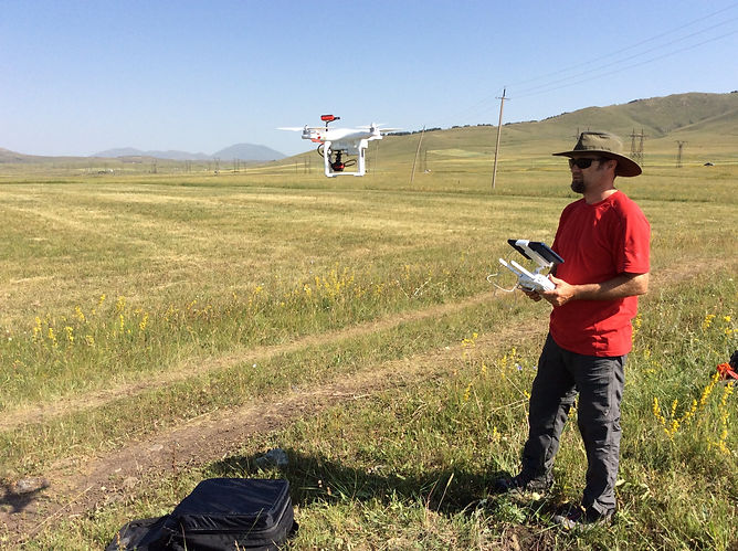
Still a reletiavely new technology, the use of drones is quickly becoming an industry standard as an accurate and affordable site recording tool. Since 2014, Project ArAGATS has employed DJI Phantom series quadcopter UAVs (or drones) to photodocument sites and excavations using high resolution still photography and video in concert with Pix4Dmapper Pro software. We use Pix4D Capture mobile app on Apple iPads to pre-program the drone’s flight transects; with a battery life of 15-20 minutes, we typically are able to fly 200 x 200m flight “missions,” so larger sites can require multiple missions. To optimize the accuracy and precision of our drone-based mapping, we establish ground control points (GCP) at newly recorded sites that did not already have mapping benchmarks. GCPs were created with red spray paint at numerous horizontal and vertical locations around a site (typically 5-10 points) visible in the drone images, and the point coordinates were recorded using a Leica GNSS instrument. Aerial images are downloaded and processed in Pix4DmapperPro, which generates photogrammetric models providing 2D and 3D landscape depictions (such as digital surface models and orthomosaic photos) and to facilitate the drafting of topographical and architectural site maps. The resulting data can be imported into a GIS environment and used in spatial analysis, site monitoring, and research planning purposes.
The technology is also rapidly progressing as new advanced, field-tested cameras and sensors can now be attached to drones to collect a wider range of imagery, including near-infrared data. In 2017, we mounted a Phantom 3 Pro drone with a Parrot Sequoia multispectral sensor to determine the feasibility of detecting near surface archaeological features such as stone architecture and burials in the near-infrared band. This new capability would allow the survey team to expand our use of non-destructive remote-sensing methods to identify subsurface anomalies, potentially avoided costly, time-intensive, and destructive excavations. Early experimental flights with the Sequoia have shown promise at detecting stone cromlech burials, and we’ll continue to refine this method coming seasons. We anticipate this technology will be particularly valuable in areas where the ground surface has been heavily disturbed by Soviet-era land amelioration activities but where subsurface remains may be intact.
Since 2016, Arshaluys “Arsho” Mkrtchyan, a computer science specialist at the Institute of Archaeology and Ethnography, has worked on KVAS as a drone operator, photogrammetry data manager, and image interpreter.